
Sayq topographic map
Interactive map
Click on the map to display elevation.
About this map
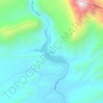
Name: Sayq topographic map, elevation, terrain.
Location: Sayq, Ash Sharqiyah South, Oman (22.49025 59.10358 22.53025 59.14358)
Average elevation: 1,834 ft
Minimum elevation: 1,142 ft
Maximum elevation: 4,623 ft
Other topographic maps
Click on a map to view its topography, its elevation and its terrain.