Geolocate

Castion topographic map

Click on the map to display elevation.

About this map

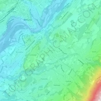
Name: Castion topographic map, elevation, terrain.

Location: Castion, Belluno, Veneto, 32100, Italy (46.10534 12.21121 46.14534 12.25121)

Average elevation: 1,394 ft

Minimum elevation: 1,060 ft

Maximum elevation: 2,877 ft

Gear up for your next adventure:

🪑Portable Camp Table - Compact table for campsite meals
🔥Fast-Boil Camping Stoves - Efficient cooking systems for quick trail meals
🪄Magnetic Compass - Accurate compass for navigation
🛠️Outdoor Gear Repair Kit - Essential tools to fix gear on the trail
🧣Hiking Neck Gaiter - Multi‑use neck protection for outdoor weather

As an Amazon Associate, this site earns from qualifying purchases at no extra cost to you.