
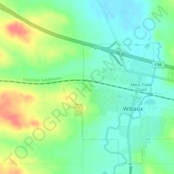
Carol Park topographic map
Interactive map
Click on the map to display elevation.
About this map
Name: Carol Park topographic map, elevation, terrain.
Location: Carol Park, Wibaux, Wibaux County, Montana, USA (46.98774 -104.19963 46.98888 -104.19770)
Average elevation: 2,690 ft
Minimum elevation: 2,621 ft
Maximum elevation: 2,818 ft