
Lacymark topographic map
Interactive map
Click on the map to display elevation.
About this map
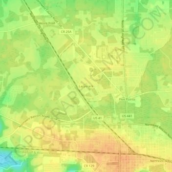
Name: Lacymark topographic map, elevation, terrain.
Location: Lacymark, Columbia County, Florida, 32055, USA (30.19217 -82.66846 30.23217 -82.62846)
Average elevation: 171 ft
Minimum elevation: 95 ft
Maximum elevation: 207 ft