
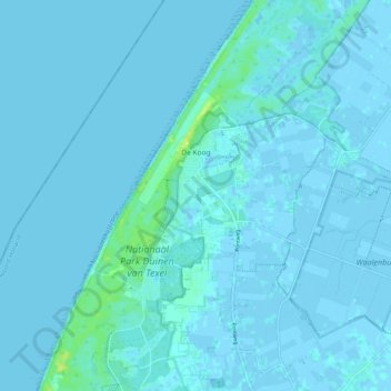
De Koog topographic map
Interactive map
Click on the map to display elevation.
About this map
Name: De Koog topographic map, elevation, terrain.
Location: De Koog, Texel, North Holland, Netherlands (53.06256 4.70439 53.12356 4.80316)
Average elevation: 3 ft
Minimum elevation: -13 ft
Maximum elevation: 52 ft