
Southhampton topographic map
Interactive map
Click on the map to display elevation.
About this map
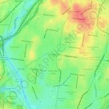
Name: Southhampton topographic map, elevation, terrain.
Location: Southhampton, St. Louis, Missouri, 34324, United States (38.57339 -90.31539 38.61339 -90.27539)
Average elevation: 495 ft
Minimum elevation: 404 ft
Maximum elevation: 617 ft
Missouri trails, hiking, mountain biking, running and outdoor activities
Other topographic maps
Click on a map to view its topography, its elevation and its terrain.