
Doeveren topographic map
Interactive map
Click on the map to display elevation.
About this map
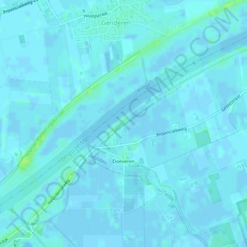
Name: Doeveren topographic map, elevation, terrain.
Location: Doeveren, Heusden, North Brabant, Netherlands (51.71862 5.08176 51.73122 5.10553)
Average elevation: 3 ft
Minimum elevation: -23 ft
Maximum elevation: 36 ft