
Dannebrog topographic map
Interactive map
Click on the map to display elevation.
About this map
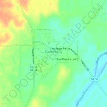
Name: Dannebrog topographic map, elevation, terrain.
Location: Dannebrog, Howard County, Nebraska, United States (41.11171 -98.55285 41.12390 -98.53776)
Average elevation: 1,880 ft
Minimum elevation: 1,827 ft
Maximum elevation: 1,952 ft
Nebraska trails, hiking, mountain biking, running and outdoor activities