
Crows Nest topographic map
Interactive map
Click on the map to display elevation.
About this map
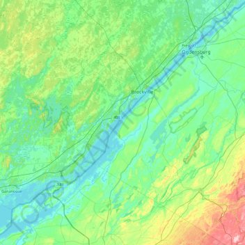
Name: Crows Nest topographic map, elevation, terrain.
Location: Crows Nest, Saint Lawrence County, New York, USA (44.18839 -76.07580 44.82839 -75.43580)
Average elevation: 374 ft
Minimum elevation: 236 ft
Maximum elevation: 978 ft
Other topographic maps
Click on a map to view its topography, its elevation and its terrain.