
Distrito Chitré topographic map
Interactive map
Click on the map to display elevation.
About this map
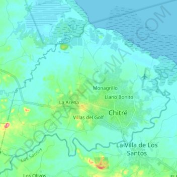
Name: Distrito Chitré topographic map, elevation, terrain.
Location: Distrito Chitré, Herrera, Panama (7.93241 -80.51198 8.02779 -80.38675)
Average elevation: 52 ft
Minimum elevation: 0 ft
Maximum elevation: 413 ft