
Wadi Hanifa topographic map
Interactive map
Click on the map to display elevation.
About this map
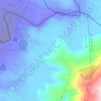
Name: Wadi Hanifa topographic map, elevation, terrain.
Location: Wadi Hanifa, Balqa, Jordan (32.17333 35.64000 32.19333 35.66000)
Average elevation: -167 ft
Minimum elevation: -784 ft
Maximum elevation: 1,385 ft
Other topographic maps
Click on a map to view its topography, its elevation and its terrain.