Horn Lake topographic map
Interactive map
Click on the map to display elevation.
About this map
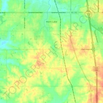
Name: Horn Lake topographic map, elevation, terrain.
Average elevation: 305 ft
Minimum elevation: 230 ft
Maximum elevation: 387 ft

Click on the map to display elevation.
Name: Horn Lake topographic map, elevation, terrain.
Average elevation: 305 ft
Minimum elevation: 230 ft
Maximum elevation: 387 ft