
Leakey topographic map
Interactive map
Click on the map to display elevation.
About this map
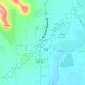
Name: Leakey topographic map, elevation, terrain.
Location: Leakey, Real County, Texas, 78873, United States (29.71496 -99.77212 29.73641 -99.75456)
Average elevation: 1,637 ft
Minimum elevation: 1,558 ft
Maximum elevation: 2,001 ft
Real County trails, hiking, mountain biking, running and outdoor activities