
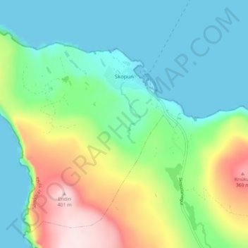
Skopun topographic map
Interactive map
Click on the map to display elevation.
About this map
Name: Skopun topographic map, elevation, terrain.
Location: Skopun, Sandoy region, 240, Faroe Islands (61.87745 -6.95291 61.91419 -6.86575)
Average elevation: 394 ft
Minimum elevation: -23 ft
Maximum elevation: 1,345 ft