
Saxon topographic map
Interactive map
Click on the map to display elevation.
About this map
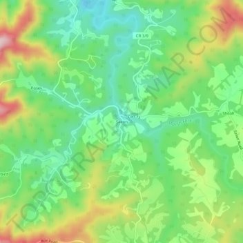
Name: Saxon topographic map, elevation, terrain.
Location: Saxon, Raleigh County, West Virginia, 25007, USA (37.77817 -81.43483 37.81817 -81.39483)
Average elevation: 1,962 ft
Minimum elevation: 1,631 ft
Maximum elevation: 2,513 ft