
Red Butte topographic map
Interactive map
Click on the map to display elevation.
About this map
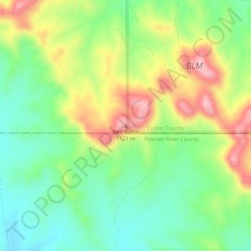
Name: Red Butte topographic map, elevation, terrain.
Location: Red Butte, Custer County, Montana, USA (45.78940 -106.12922 45.78950 -106.12912)
Average elevation: 3,297 ft
Minimum elevation: 3,035 ft
Maximum elevation: 3,688 ft
Other topographic maps
Click on a map to view its topography, its elevation and its terrain.