
Harmaston topographic map
Interactive map
Click on the map to display elevation.
About this map
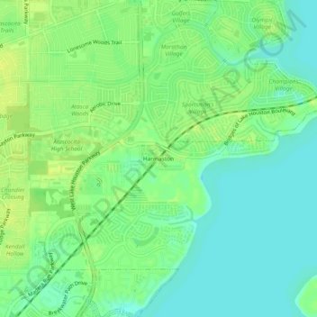
Name: Harmaston topographic map, elevation, terrain.
Location: Harmaston, Harris County, Texas, 77346, United States (29.95772 -95.17910 29.99772 -95.13910)
Average elevation: 62 ft
Minimum elevation: 36 ft
Maximum elevation: 89 ft
Texas trails, hiking, mountain biking, running and outdoor activities