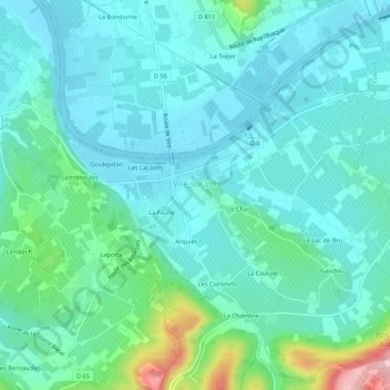
Vire-sur-Lot topographic map
Interactive map
Click on the map to display elevation.
About this map
Name: Vire-sur-Lot topographic map, elevation, terrain.
Average elevation: 364 ft
Minimum elevation: 243 ft
Maximum elevation: 879 ft

Click on the map to display elevation.
Name: Vire-sur-Lot topographic map, elevation, terrain.
Average elevation: 364 ft
Minimum elevation: 243 ft
Maximum elevation: 879 ft