
Woodland topographic map
Interactive map
Click on the map to display elevation.
About this map
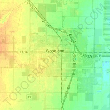
Name: Woodland topographic map, elevation, terrain.
Location: Woodland, Yolo County, California, United States (38.63760 -121.80276 38.70934 -121.68542)
Average elevation: 59 ft
Minimum elevation: 16 ft
Maximum elevation: 102 ft
Yolo County trails, hiking, mountain biking, running and outdoor activities
Other topographic maps
Click on a map to view its topography, its elevation and its terrain.
Davis
United States > California > Yolo County > Davis > Davis
Davis lies in the Sacramento Valley, the northern portion of the Central Valley, in Northern California, at an elevation of about 52 feet (16 m) above sea level.
Average elevation: 49 ft