
Syðrugøta topographic map
Interactive map
Click on the map to display elevation.
About this map
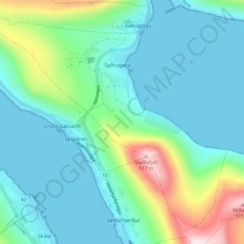
Name: Syðrugøta topographic map, elevation, terrain.
Location: Syðrugøta, Eysturoy region, 513, Faroe Islands (62.15813 -6.80297 62.19374 -6.71755)
Average elevation: 367 ft
Minimum elevation: -10 ft
Maximum elevation: 1,752 ft