
Rayville topographic map
Interactive map
Click on the map to display elevation.
About this map
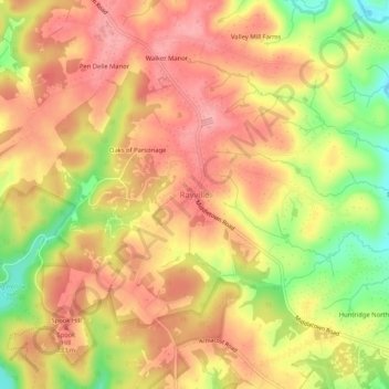
Name: Rayville topographic map, elevation, terrain.
Location: Rayville, Baltimore County, Maryland, 21120, United States (39.62939 -76.72098 39.66939 -76.68098)
Average elevation: 709 ft
Minimum elevation: 476 ft
Maximum elevation: 843 ft
Maryland trails, hiking, mountain biking, running and outdoor activities