
Start topographic map
Interactive map
Click on the map to display elevation.
About this map
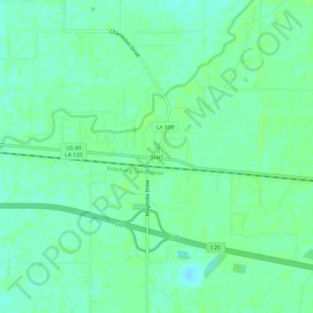
Name: Start topographic map, elevation, terrain.
Location: Start, Richland Parish, Louisiana, 71279, United States (32.46653 -91.87929 32.50653 -91.83929)
Average elevation: 75 ft
Minimum elevation: 56 ft
Maximum elevation: 85 ft
Louisiana trails, hiking, mountain biking, running and outdoor activities