
Wilder topographic map
Interactive map
Click on the map to display elevation.
About this map
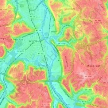
Name: Wilder topographic map, elevation, terrain.
Location: Wilder, Campbell County, Kentucky, United States (39.00426 -84.49779 39.07797 -84.46678)
Average elevation: 679 ft
Minimum elevation: 453 ft
Maximum elevation: 909 ft
Campbell County trails, hiking, mountain biking, running and outdoor activities
Other topographic maps
Click on a map to view its topography, its elevation and its terrain.