
Runavík topographic map
Interactive map
Click on the map to display elevation.
About this map
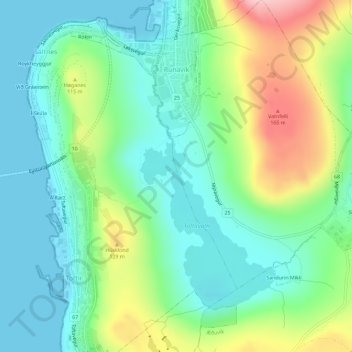
Name: Runavík topographic map, elevation, terrain.
Location: Runavík, Eysturoy region, 620, Faroe Islands (62.08778 -6.73302 62.11100 -6.69806)
Average elevation: 190 ft
Minimum elevation: -10 ft
Maximum elevation: 627 ft