
Al Ghab topographic map
Interactive map
Click on the map to display elevation.
About this map
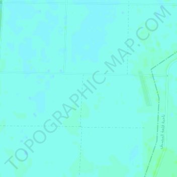
Name: Al Ghab topographic map, elevation, terrain.
Location: Al Ghab, Ar Rasif, Hama, Syria (35.49995 36.29995 35.50005 36.30005)
Average elevation: 548 ft
Minimum elevation: 541 ft
Maximum elevation: 561 ft