
Blanch topographic map
Interactive map
Click on the map to display elevation.
About this map
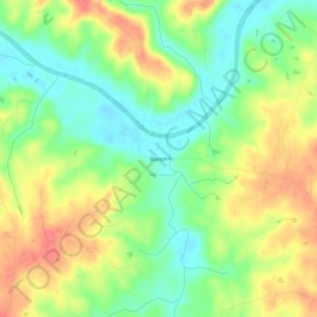
Name: Blanch topographic map, elevation, terrain.
Location: Blanch, Caswell County, North Carolina, United States (36.48792 -79.31502 36.52792 -79.27502)
Average elevation: 453 ft
Minimum elevation: 351 ft
Maximum elevation: 568 ft
Caswell County trails, hiking, mountain biking, running and outdoor activities
Other topographic maps
Click on a map to view its topography, its elevation and its terrain.