
Nantai topographic map
Interactive map
Click on the map to display elevation.
About this map
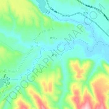
Name: Nantai topographic map, elevation, terrain.
Location: Nantai, Haiyuan County, Zhongwei City, Ningxia, PRC (36.38994 105.96198 36.42994 106.00198)
Average elevation: 5,453 ft
Minimum elevation: 5,187 ft
Maximum elevation: 6,093 ft