
Wadi Mousa topographic map
Interactive map
Click on the map to display elevation.
About this map
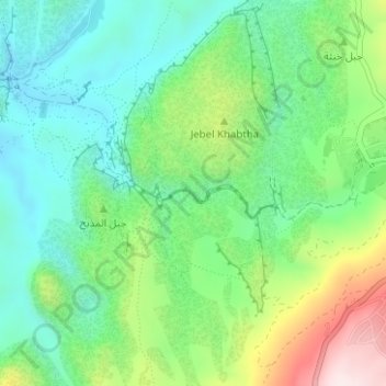
Name: Wadi Mousa topographic map, elevation, terrain.
Location: Wadi Mousa, Ma’an, 71810, Jordan (30.32104 35.44785 30.32444 35.46102)
Average elevation: 3,366 ft
Minimum elevation: 2,841 ft
Maximum elevation: 4,498 ft
Other topographic maps
Click on a map to view its topography, its elevation and its terrain.