
Delta topographic map
Interactive map
Click on the map to display elevation.
About this map
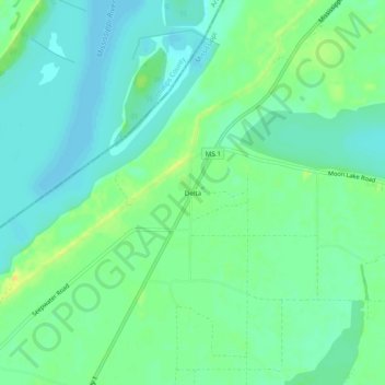
Name: Delta topographic map, elevation, terrain.
Location: Delta, Coahoma County, Mississippi, United States (34.38455 -90.59233 34.42455 -90.55233)
Average elevation: 167 ft
Minimum elevation: 138 ft
Maximum elevation: 220 ft
Mississippi trails, hiking, mountain biking, running and outdoor activities