
Zadar topographic map
Interactive map
Click on the map to display elevation.
About this map
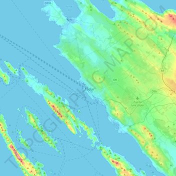
Name: Zadar topographic map, elevation, terrain.
Location: Zadar, Grad Zadar, Zadar County, 23104, Croatia (43.95861 15.07214 44.27861 15.39214)
Average elevation: 118 ft
Minimum elevation: -13 ft
Maximum elevation: 1,060 ft