

Croatia topographic maps
Click on a map to view its topography, its elevation and its terrain.
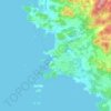
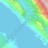
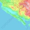
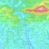
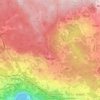
Općina Konavle
Croatia > Dubrovnik-Neretva County
The Sniježnica peak at 1234 meters of altitude is the highest point of the Dubrovnik-Neretva County and village of Kuna with its 700 m altitude is the highest village in the county. Although Gruda is the administrative center of the municipality, the largest settlement is Cavtat.
Average elevation: 1,234 ft
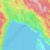




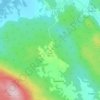
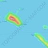
Susak
Croatia > Primorje-Gorski Kotar County > Susak
Located in the Kvarner Bay and southeast of the Istrian peninsula, the Croatian island of Susak is 7.4 kilometers (4.6 mi; 4.0 nmi) southwest from the island of Lošinj, 10 kilometers (6.2 mi; 5.4 nmi) south of the island of Unije, and 120 kilometers (75 mi; 65 nmi) east of the Italian coast. Susak is about 3…
Average elevation: 43 ft
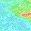
Vinkovci
Croatia > Vukovar-Srijem County
Vinkovci is located in the eastern part of the Slavonia region, 19 km (12 mi) southwest of Vukovar, 24 km (15 mi) north of Županja and 43 km (27 mi) south of Osijek. The city lies in a flatland on the Bosut river, at an elevation of approx. 90 metres (300 ft), and has a mild continental climate. Vinkovci is…
Average elevation: 289 ft





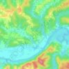
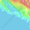
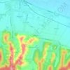
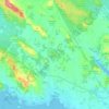
Sjevernjak
Croatia > Virovitica-Podravina County > Grad Virovitica > Rezovac
Average elevation: 479 ft
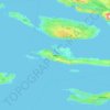
Hvar
Croatia > Split-Dalmatia County
The island has a typical Mediterranean vegetation, mostly bare with woody scrub at higher, steeper elevations, turning to pine forests on the lower slopes with Holm oak (Orno-Quercetum ilicis), Aleppo pines (Pinus halapensis Mill) and Black pines (Pinus nigra dalmatica). The islet of Šćedro is especially…
Average elevation: 190 ft







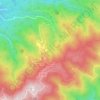
Begovo Razdolje
Croatia > Primorje-Gorski Kotar County
Begovo Razdolje (Croatian pronunciation: [bɛ̂ɡɔʋɔ rǎːzdɔːʎɛ]) is a village in Mrkopalj municipality, Primorje-Gorski Kotar County, Croatia. At 1,060 m (3,478 ft), it is the settlement with the highest elevation in Croatia.
Average elevation: 3,560 ft


















Vukovar
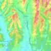
Croatia > Vukovar-Srijem County
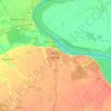
Vukovar is located 20 km (12 mi) northeast of Vinkovci and 36 km (22 mi) southeast of Osijek, with an elevation of 108 m (354 ft). Vukovar is located on the main road D2 Osijek—Vukovar—Ilok and on the Vinkovci—Vukovar railway (and road D55).
Average elevation: 308 ft

Bjelovar
Croatia > Bjelovar-Bilogora County
The city of Bjelovar has an area of 181.75 km2 (70.2 sq mi), and administratively it includes 31 other areas. North-east of Bjelovar there is a long, low elevation called Bilogora, with an average height of 150–200 m (highest point: Rajčevica, 309 m). The geology of the area consists of Pliocene sandy marl…
Average elevation: 482 ft