
Ash Shalif topographic map
Interactive map
Click on the map to display elevation.
About this map
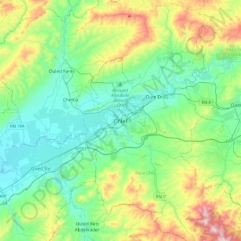
Name: Ash Shalif topographic map, elevation, terrain.
Location: Ash Shalif, Chlef District, Chlef, 02000, Algeria (36.00459 1.17150 36.32459 1.49150)
Average elevation: 909 ft
Minimum elevation: 223 ft
Maximum elevation: 2,851 ft