
Omitama topographic map
Interactive map
Click on the map to display elevation.
About this map
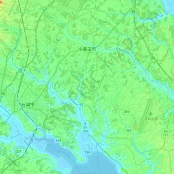
Name: Omitama topographic map, elevation, terrain.
Location: Omitama, Ibaraki Prefecture, Kanto, Japan (36.12819 140.27192 36.28085 140.44983)
Average elevation: 79 ft
Minimum elevation: -10 ft
Maximum elevation: 397 ft