
Lucile topographic map
Interactive map
Click on the map to display elevation.
About this map
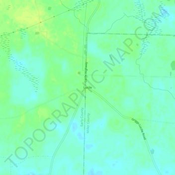
Name: Lucile topographic map, elevation, terrain.
Location: Lucile, Georgia, United States (31.22351 -84.93715 31.26351 -84.89715)
Average elevation: 213 ft
Minimum elevation: 190 ft
Maximum elevation: 240 ft
Georgia trails, hiking, mountain biking, running and outdoor activities