
Badr City topographic map
Interactive map
Click on the map to display elevation.
About this map
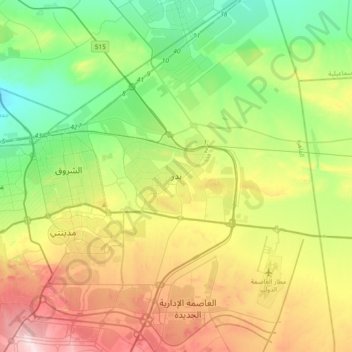
Name: Badr City topographic map, elevation, terrain.
Location: Badr City, Cairo Governorate, 11829, Egypt (30.10281 31.70282 30.18281 31.78282)
Average elevation: 715 ft
Minimum elevation: 541 ft
Maximum elevation: 896 ft