
Annapurna I topographic map
Interactive map
Click on the map to display elevation.
About this map
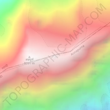
Name: Annapurna I topographic map, elevation, terrain.
Average elevation: 23,383 ft
Minimum elevation: 18,750 ft
Maximum elevation: 26,355 ft
The mountain is named after Annapurna, the Hindu goddess of food and nourishment, who is said to reside there. The name Annapurna is derived from the Sanskrit-language words purna ("filled") and anna ("food"), and can be translated as "everlasting food". Many streams descending from the slopes of the Annapurna Massif provide water for the agricultural fields and pastures located at lower elevations.