
Kisatchie National Forest topographic map
Interactive map
Click on the map to display elevation.
About this map
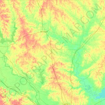
Name: Kisatchie National Forest topographic map, elevation, terrain.
Location: Kisatchie National Forest, Grant Parish, Louisiana, USA (31.40255 -93.08343 32.14816 -92.29698)
Average elevation: 144 ft
Minimum elevation: 13 ft
Maximum elevation: 387 ft
Other topographic maps
Click on a map to view its topography, its elevation and its terrain.