
Ijams Nature Center topographic map
Interactive map
Click on the map to display elevation.
About this map
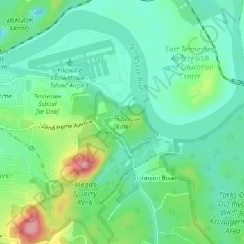
Name: Ijams Nature Center topographic map, elevation, terrain.
Average elevation: 879 ft
Minimum elevation: 761 ft
Maximum elevation: 1,155 ft
Knox County trails, hiking, mountain biking, running and outdoor activities
Other topographic maps
Click on a map to view its topography, its elevation and its terrain.
Highland Park
United States > Tennessee > Knox County > Knoxville > Highland Park
Average elevation: 1,119 ft
Island Home
United States > Tennessee > Knox County > Knoxville > Island Home
Average elevation: 906 ft