
Perkinston topographic map
Interactive map
Click on the map to display elevation.
About this map
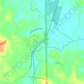
Name: Perkinston topographic map, elevation, terrain.
Location: Perkinston, Stone County, Mississippi, United States (30.76213 -89.15810 30.80213 -89.11810)
Average elevation: 144 ft
Minimum elevation: 95 ft
Maximum elevation: 249 ft
Stone County trails, hiking, mountain biking, running and outdoor activities
Other topographic maps
Click on a map to view its topography, its elevation and its terrain.