
Cades Cove topographic map
Interactive map
Click on the map to display elevation.
About this map
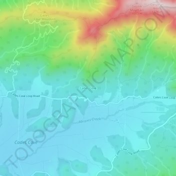
Name: Cades Cove topographic map, elevation, terrain.
Location: Cades Cove, Blount County, Tennessee, United States (35.58895 -83.82448 35.62895 -83.78448)
Average elevation: 2,152 ft
Minimum elevation: 1,713 ft
Maximum elevation: 3,615 ft
Blount County trails, hiking, mountain biking, running and outdoor activities