
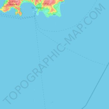
Grouville topographic map
Interactive map
Click on the map to display elevation.
About this map
Name: Grouville topographic map, elevation, terrain.
Location: Grouville, Jersey (48.97028 -2.17504 49.20274 -2.00763)
Average elevation: 7 ft
Minimum elevation: -7 ft
Maximum elevation: 299 ft
Other topographic maps
Click on a map to view its topography, its elevation and its terrain.