
Gross Ruchen topographic map
Interactive map
Click on the map to display elevation.
About this map
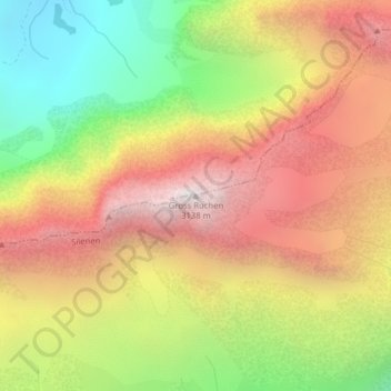
Name: Gross Ruchen topographic map, elevation, terrain.
Location: Gross Ruchen, Silenen, Uri, Svizzera (46.81009 8.77463 46.81019 8.77473)
Average elevation: 7,621 ft
Minimum elevation: 4,728 ft
Maximum elevation: 10,243 ft
Other topographic maps
Click on a map to view its topography, its elevation and its terrain.
Gross Windgällen
Gross Windgällen, Silenen, Uri, 6475, Svizzera
Average elevation: 7,851 ft
Piz Cazarauls
Piz Cazarauls, Silenen, Uri, Svizzera
Average elevation: 8,806 ft