
Creede topographic map
Interactive map
Click on the map to display elevation.
About this map
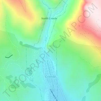
Name: Creede topographic map, elevation, terrain.
Location: Creede, Mineral County, Colorado, United States (37.84167 -106.93432 37.86914 -106.91963)
Average elevation: 9,485 ft
Minimum elevation: 8,757 ft
Maximum elevation: 11,060 ft
Mineral County trails, hiking, mountain biking, running and outdoor activities