
Perryville topographic map
Interactive map
Click on the map to display elevation.
About this map
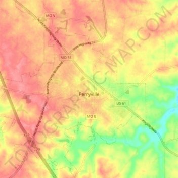
Name: Perryville topographic map, elevation, terrain.
Location: Perryville, Perry County, Missouri, United States (37.69608 -89.91919 37.76256 -89.83767)
Average elevation: 561 ft
Minimum elevation: 390 ft
Maximum elevation: 656 ft
Perry County trails, hiking, mountain biking, running and outdoor activities