
Bar Harbor topographic map
Interactive map
Click on the map to display elevation.
About this map
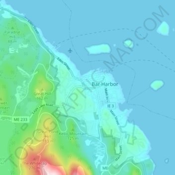
Name: Bar Harbor topographic map, elevation, terrain.
Location: Bar Harbor, Hancock County, Maine, United States of America (44.35905 -68.25079 44.41387 -68.18434)
Average elevation: 144 ft
Minimum elevation: -3 ft
Maximum elevation: 1,171 ft