
Amqui topographic map
Interactive map
Click on the map to display elevation.
About this map
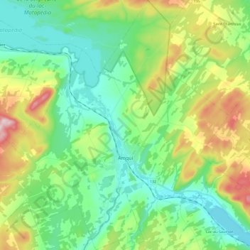
Name: Amqui topographic map, elevation, terrain.
Location: Amqui, La Matapédia, Bas-Saint-Laurent, Quebec, Canada (48.41024 -67.53513 48.56020 -67.33795)
Average elevation: 823 ft
Minimum elevation: 456 ft
Maximum elevation: 1,683 ft