
Bois-le-Roi topographic map
Interactive map
Click on the map to display elevation.
About this map
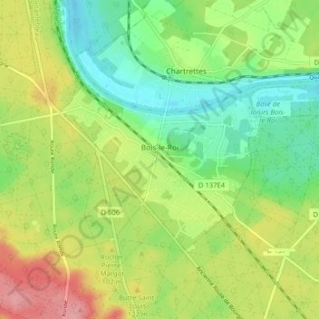
Name: Bois-le-Roi topographic map, elevation, terrain.
Average elevation: 269 ft
Minimum elevation: 121 ft
Maximum elevation: 482 ft
Other topographic maps
Click on a map to view its topography, its elevation and its terrain.
Bois Grillots
France > Ile-de-France > Seine-et-Marne > Moret-Loing-et-Orvanne
Average elevation: 259 ft