
Johnson creek topographic map
Interactive map
Click on the map to display elevation.
About this map
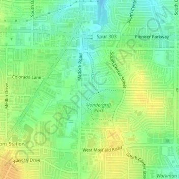
Name: Johnson creek topographic map, elevation, terrain.
Average elevation: 650 ft
Minimum elevation: 604 ft
Maximum elevation: 699 ft
Tarrant County trails, hiking, mountain biking, running and outdoor activities
Other topographic maps
Click on a map to view its topography, its elevation and its terrain.
La Frontera
United States > Texas > Tarrant County > Arlington > La Frontera
Average elevation: 607 ft