
Warbonnet topographic map
Interactive map
Click on the map to display elevation.
About this map
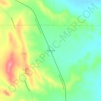
Name: Warbonnet topographic map, elevation, terrain.
Location: Warbonnet, Pennington County, South Dakota, United States (43.97916 -103.15323 44.01916 -103.11323)
Average elevation: 3,169 ft
Minimum elevation: 3,038 ft
Maximum elevation: 3,373 ft