
Thank you for supporting this site ❤️
Make a donation
Make a donation
Gear up for your next adventure:
As an Amazon Associate, this site earns from qualifying purchases at no extra cost to you.
Warbonnet topographic map
Click on the map to display elevation.
Thank you for supporting this site ❤️
Make a donation
Make a donation
Gear up for your next adventure:
As an Amazon Associate, this site earns from qualifying purchases at no extra cost to you.
About this map
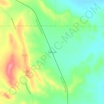
Name: Warbonnet topographic map, elevation, terrain.
Location: Warbonnet, Pennington County, South Dakota, United States (43.97916 -103.15323 44.01916 -103.11323)
Average elevation: 3,169 ft
Minimum elevation: 3,038 ft
Maximum elevation: 3,373 ft
Pennington County trails, hiking, mountain biking, running and outdoor activities
Thank you for supporting this site ❤️
Make a donation
Make a donation
Gear up for your next adventure:
As an Amazon Associate, this site earns from qualifying purchases at no extra cost to you.